Route 10 land-use plan gets closer to adoption following planning commission endorsement

The Northern Route 10 Corridor Plan, in red, would guide development of 840 acres on Iron Bridge Road between the Route 288 interchange and just south of Chippenham Parkway. (Images courtesy of Chesterfield County)
A new land-use plan for a section of Iron Bridge Road is working its way through the approval process in Chesterfield County.
The proposed Northern Route 10 Corridor Plan would provide guidance for future development on a 3.5-mile stretch of Iron Bridge that starts a mile south of Chippenham Parkway and ends at Route 288.
If approved, the plan’s recommendations would be used to inform zoning and land-use policy decisions for a 840-acre area that includes the Austin Woods and Meridian Watermark residential developments, the Food Lion-anchored Irongate Shopping Center and surrounding areas.
The county planning commission recently voted to recommend approval of the plan, and the board of supervisors is slated to decide on final approval in late August.
Senior Planner Brett Meadows said the land-use plan is being created for several reasons. That segment of Iron Bridge is less built out compared with similar corridors in Chesterfield, with more than 40% of the plan area being vacant land. Another factor is that the corridor is heavily wooded, and a goal of the plan is to take steps to preserve its appearance.
“There’s an opportunity, because the corridor is relatively undeveloped, to get ahead of that development and keep it a unique corridor, keep some of the greenery that people love when they drive down, and make it develop a little differently than we’ve seen in other areas of the county,” Meadows said during the planning commission meeting in mid-June.
Meadows said the area’s current land-use plan also doesn’t reflect current development trends. Current zoning in the area is geared toward car-centric development, and the new plan would encourage a wider range of development.
The plan includes guidance for design standards, infrastructure, pedestrian access and other topics. If adopted, the plan wouldn’t alter the zoning of parcels within the area or initiate any developments on its own.

The Route 10 plan would seek to guide development of the corridor away from car-centric uses and toward mixed-use development and expanded pedestrian and bicycle facilities.
Included in the plan are two mixed-use “strategic development nodes,” which are considered anchor areas of the overall corridor. One node is centered around Watermark Town Center, which has a long-vacant Walmart Neighborhood Market, and recommends mixed-use infill development and a more walkable design for the center at Iron Bridge and Kingsland Glen Drive. The site is envisioned as a place where more amenities like restaurants could be established that cater to nearby residents.
Between the county airport and Harry G. Daniel Park is the other node, where hotel and restaurant development would be encouraged to cater to visitors at those venues.
While the focus area has some existing pedestrian and bicycle amenities, the plan would encourage expansion of that infrastructure. Among the plan’s recommendations are a 10-foot shared-use path along the east side of Iron Bridge and a 5-foot sidewalk along the west side, in addition to similar pathways on other roadways in the area.

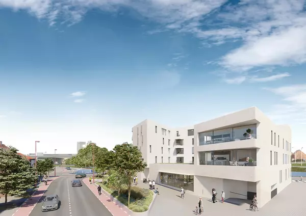
The development node recommended in the draft Route 10 land-use plan for the Watermark shopping center.
To retain a measure of the corridor’s existing appearance, the proposed plan recommends 75-foot setbacks between buildings and Iron Bridge for both vegetated and cleared sites, and also includes guidance that mature trees be preserved in new developments.
Among the challenges that county staff see to the plan’s implementation is that 67% of the plan area is zoned for car-centric uses, such as self-storage and gas stations, which work against goals to create walkability and a “cohesive feel” in the corridor, according to a supplement to the plan proposal.
Further challenges include limited wastewater access in the corridor, as well as the presence of streams and wetlands that would restrict development. The county airport, with its operational and regulatory needs and associated noise level, could also pose a challenge to development.
Commissioner LeQuan Hylton, who represents the Dale District where the plan area is located, said he feels the plan sets the stage for the kind of development local residents want to see. He said it would serve as a good guide for developers planning projects in the area.
“(Residents) want more sit-down restaurants. They want more neighborhood shopping and grocery stores. They want the Walmart area back to thriving. They want no more auto use and self-storage,” he said in remarks during the June 17 commission meeting, where commissioners voted unanimously to recommend plan approval.
“I’m hoping developers hear what the county wants. We’re dependent on private developers to come in to do the work, but I think this puts tangible, scholarly information in front of developers for them to come to the corridor.”
The current proposal is slightly smaller in land area than a previous draft. About 20 acres were shaved off after county officials corrected the alignment of the plan area with some properties’ boundaries.
The plan area consists of 835 parcels held by 485 owners, according to county documents.
If the Route 10 plan is approved, it would be incorporated into Chesterfield’s comprehensive plan, a long-range and countywide growth and development planning document.
The Route 10 plan is slated to be considered for final approval by the board of supervisors Aug. 27.
County officials have conducted public outreach efforts and used community feedback to inform the plan’s development. More information about the project can be found here. Chesterfield unveiled the initial draft of the Route 10 plan this spring.
The Route 10 focus area is to the south of the Ridgedale Special Focus Area, which county supervisors adopted in late 2023.
The post Route 10 land-use plan gets closer to adoption following planning commission endorsement appeared first on Richmond BizSense.
Recent Posts
GET MORE INFORMATION

Agent | License ID: 0225209440


